Glenalmond College
Location
Nearest town: Methven
- Grid Ref: NN977287
- Postcode: PH1 3RY
- Latitude: 56.43888
- Longitude: -3.66346
- Google Map (aerial)
- Bing Map (OS)
- OpenStreetMap
Terrain description
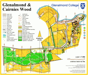
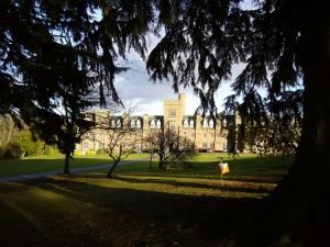
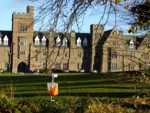
Beautiful college grounds, largely playing fields but wooded slopes down to the River Almond, with a 9-hole golf course and conifer plantation to the south of the road. In the centre of the map is a fine quadrangle of college buildings.
Image Gallery
Click the image for a larger version.


