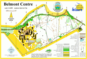
Belmont
Location
Nearest town: Meigle
- Grid Ref: NO283434
- Postcode: PH12 8TG
- Latitude: 56.57749
- Longitude: -3.16862
- Google Map (aerial)
- Bing Map (OS)
- OpenStreetMap
Terrain description
A small mapped area of very flat, runnable pine woodland and the grounds of the Belmont Centre.
Image Gallery
Click the image for a larger version.
